
Yukon Metals maps three copper-gold targets at AZ, including ground east of drilling
At Viper, a soil corridor follows the orientation of dikes and veins seen in 2026 holes, but the pattern still needs a subsurface test.
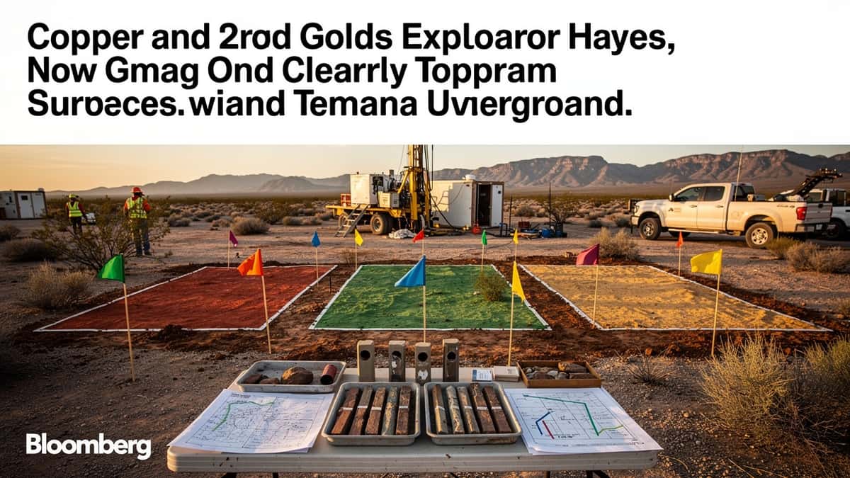
Why it matters: Surface geochemistry has expanded AZ’s exploration footprint, but the results do not establish the size or continuity of mineralization at depth.
2 kilometres — maximum distance east of 2026 drilling for reported Viper indications
10.41% copper — highest reported Saddle rock sample, collected selectively
8.2 metres at 0.11% copper and 0.10 g/t gold — downhole interval in AZ26-007
325 soil and 227 rock samples — collected in the regional program, excluding control samples
Yukon Metals Corp. has reported copper and gold anomalies across three sectors of its AZ project in Yukon, including Viper indications up to 2 kilometres east of the area drilled in 2026. Surface work also identified a new skarn at Saddle and copper-molybdenum mineralization at Wrangell. The company’s results comprise rock and soil samples and do not establish the continuity or dimensions of mineralized bodies.
The company also released pending assays from hole AZ26-007 at Viper. The highlighted interval returned 8.2 metres at 0.11% copper and 0.10 g/t gold, including 0.9 metres at 0.33% copper and 0.37 g/t gold. These are downhole lengths; true widths are unknown.
Viper’s soil corridor extends beyond the 2026 holes
The 2026 regional program combined mapping, prospecting and geochemical sampling beyond previously tested targets. It formed part of an approximately 5,000-metre funded program at AZ and Birch, with the first AZ drill core obtained on May 28. Across the program, Yukon Metals collected 325 soil samples and 227 rock samples, excluding controls.
At Viper, rock samples returned up to 2.81% copper, 1.74 g/t gold and 335 ppm molybdenum. Several samples east of the drill holes exceeded 0.1% copper. Soil values reached 1,895 ppm copper, 0.87 g/t gold and 209 ppm molybdenum. The elevated values outline a west-northwest to east-southeast corridor from the drilled area toward the eastern edge of the soil grid. The company said this orientation resembles dikes and veins in the 2026 holes, which may indicate structural control; it is not evidence of continuity at depth.
New AZ26-007 results also include 0.5 metres grading 759 ppm molybdenum from 412.5 metres. Another reported interval in the hole was 4.4 metres at 0.11% copper and 0.24 g/t gold from 590.3 metres. The assays were released after the company completed outstanding internal quality-control checks.
Saddle samples identify a new skarn
At Saddle, south of the AZ claims, mapping and prospecting identified limestone and marble altered by skarn processes near intrusive contacts. The company described garnet, epidote and magnetite, with disseminated chalcopyrite and pyrite and local staining from secondary copper minerals.
Selective rock samples returned up to 10.41% copper and 6.27 g/t gold. The company cautioned that these samples do not necessarily represent average grade or mineralization continuity. Yukon Metals said Saddle’s proximity to porphyry-style mineralization at AZ could be consistent with an intrusive-related hydrothermal system, an interpretation that requires further exploration.
Wrangell adds a separate porphyry-style target
At Wrangell, mapping identified copper and molybdenum mineralization associated with a granite body, including quartz-feldspar porphyry and breccias along intrusive margins. Samples reached 0.99% copper, 1.23 g/t gold and 658 ppm molybdenum. The company reported chalcopyrite and molybdenite in veins and disseminated form, alongside potassic and phyllic alteration. It considers Wrangell a possible porphyry-style mineralizing centre separate from Viper; its extent remains to be assessed.
Across the property, the 227 rock samples averaged 0.19% copper, 0.14 g/t gold, 12 ppm molybdenum and 1.7 g/t silver. Soil samples averaged 206 ppm copper, 0.03 g/t gold and 5.5 ppm molybdenum. Yukon Metals said these arithmetic means describe the collected samples, not grades across the project. Further exploration will be needed to test the surface targets and determine whether they extend below ground.
More in Discoveries
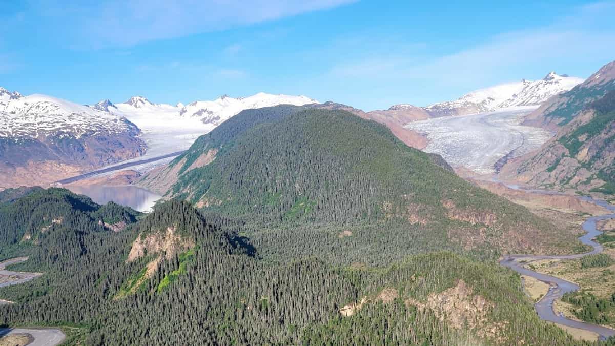
Yukon Metals pushes AZ copper-gold search beyond drilling, but scale remains unknown
At AZ, surface sampling reaches beyond the drilled footprint, but the company has yet to show whether the three target areas connect.
QGold reports 564 g/t gold at Mine Centre, but vein continuity remains untested
At South Foley, drilling intersected quartz beneath a surface sample, but the assay comparison is still pending.

Parbo intersects greenstone beneath Mount Padbury granite, forcing a gravity-model reset
GoldenEye has supplied a geological reference, while assays from pyrite-bearing Goldfinger breccias remain outstanding.