
ICMM maps 12,000 mining sites, but biodiversity overlap depends on the measure
The global dataset compares ecosystem condition with recognised conservation areas, two lenses that do not describe the same kind of overlap.
Why it matters: The map gives governments, mining companies and conservation groups a global view of where mineral production and biodiversity priorities intersect, without establishing site-level impacts.
12,000 facilities — mining and metallurgical assets included in the dataset
22% — located in landscapes with high or very high ecosystem condition
5% — intersect with Key Biodiversity Areas (KBAs)
4% — intersect with Protected or Conserved Areas (PCAs)
The International Council on Mining and Metals (ICMM) has published a global dataset mapping 12,000 mining and metallurgical facilities against biodiversity and conservation indicators. It reports that 22% of the facilities are in landscapes with high or very high ecosystem condition, while 5% intersect with Key Biodiversity Areas (KBAs) and 4% with Protected or Conserved Areas (PCAs).
Ecosystem condition is not a conservation designation
The ecosystem-condition measure describes the state of a landscape. In areas rated high or very high, the analysis says, original biodiversity is largely maintained and habitats remain connected. That rating is distinct from a formal conservation designation.
The KBA and PCA figures track different categories and should not be added together as a single share: some areas may overlap. The dataset therefore presents separate spatial comparisons rather than one combined measure of facilities near or within conservation priorities.
ICMM said the map is intended to help governments, companies and conservation organisations assess where mining activity coincides with areas important to nature. Its data and research director, Emma Gagen, described it as a global basis for examining facilities, commodities and multiple biodiversity indicators.
A global reference, not a site-level impact assessment
The dataset is framed against two wider pressures: demand for minerals and metals associated with decarbonisation, and the goals of the Kunming-Montreal Global Biodiversity Framework. Under that framework, 196 countries agreed to bring the loss of high-integrity landscapes close to zero by 2030. ICMM presents the map as information that can help identify where efforts toward that goal may be focused.
The reported percentages describe global spatial intersections. They do not, on their own, establish that a mine caused ecological loss or characterise the effects of any individual operation. The map identifies where facilities and biodiversity indicators coincide; determining local conditions or attributing impacts requires site-specific assessment.
More in Resources
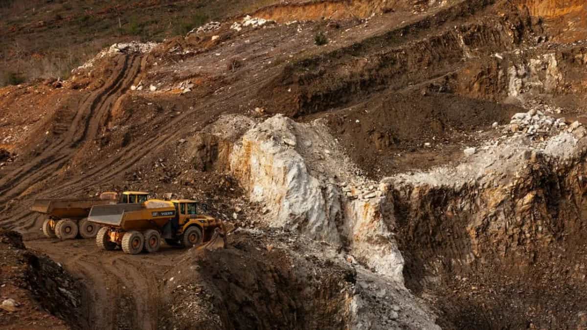
Resouro mobilises equipment at Luizão as Novo Mundo gold trial remains conditional
Equipment is clearing an existing pit, while two other proposed pits remain planning concepts for the broader project.
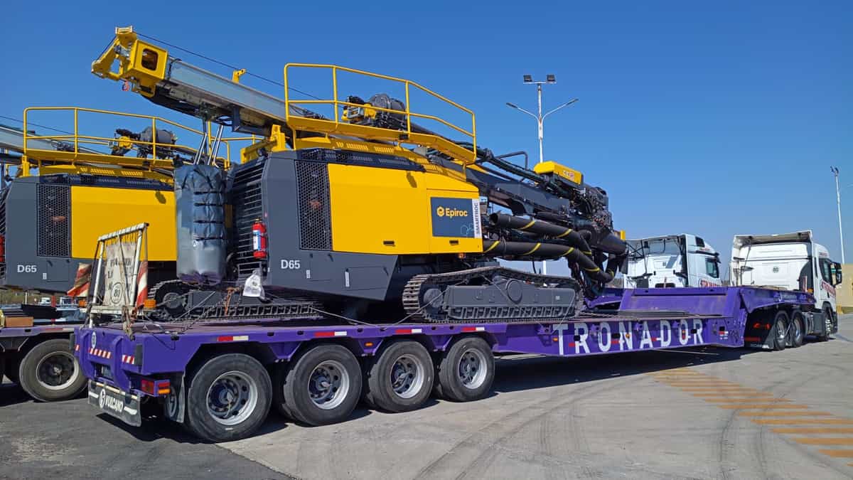
Vicuña prepares two Epiroc drills as autonomous operation hinges on network
Josemaría and Filo del Sol span San Juan and Atacama, while the project has not detailed how the new rigs will be commissioned.
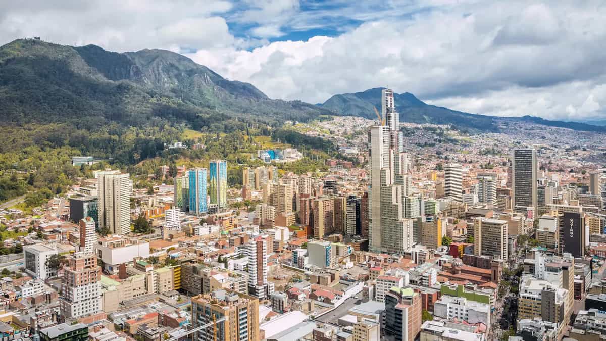
Colombia lifts restrictions on 15 mining areas, but Quebradón still faces a permit hurdle
The policy shift is intended to revive mining investment after foreign inflows fell sharply, as AngloGold Ashanti advances its Jericó copper-gold proposal.